Carbon River & Mowich: no public access
The SR 165/Fairfax Bridge is closed to people, bikes and vehicles, with no alternate route. Tolmie Peak, Spray Park and the Carbon River trail system are shown for future planning only.
NPS road status ↗
46.8523° N · 121.7603° W
Forty hikes, sixteen road-trip stops, and the links you need to turn a giant national park into a very good day.
Know before you drive
Status checked July 25, 2026; the latest NPS road report was dated July 6. Recheck live conditions on the morning of your visit.
The SR 165/Fairfax Bridge is closed to people, bikes and vehicles, with no alternate route. Tolmie Peak, Spray Park and the Carbon River trail system are shown for future planning only.
NPS road status ↗Campground, visitor center and developed area are closed for 2026. Grove of the Patriarchs remains closed. Silver Falls is an out-and-back from Grove parking, not the old campground loop.
2026 trail map ↗NPS says no timed-entry reservation is required anywhere in the park this year. Your entrance fee/pass still applies, and weekend lines and full lots are common.
NPS FAQ ↗Choose your effort
Distances and elevation are approximate round trips from NPS area trail sheets. Follow the official link on every card before you go.
Easy wins
Not every great Rainier moment requires a summit. These lakes, overlooks, waterfalls and historic places layer naturally into a driving day.
Steal this plan
Pick one corridor and stay there. Crossing the park can consume hours, especially in summer traffic.
Big mountain, waterfall, meadow and reflection in one coherent south-side day.
Maximum alpine scenery with a choose-your-own-distance spine.
A softer day for mixed groups, weather shifts, or tired legs.
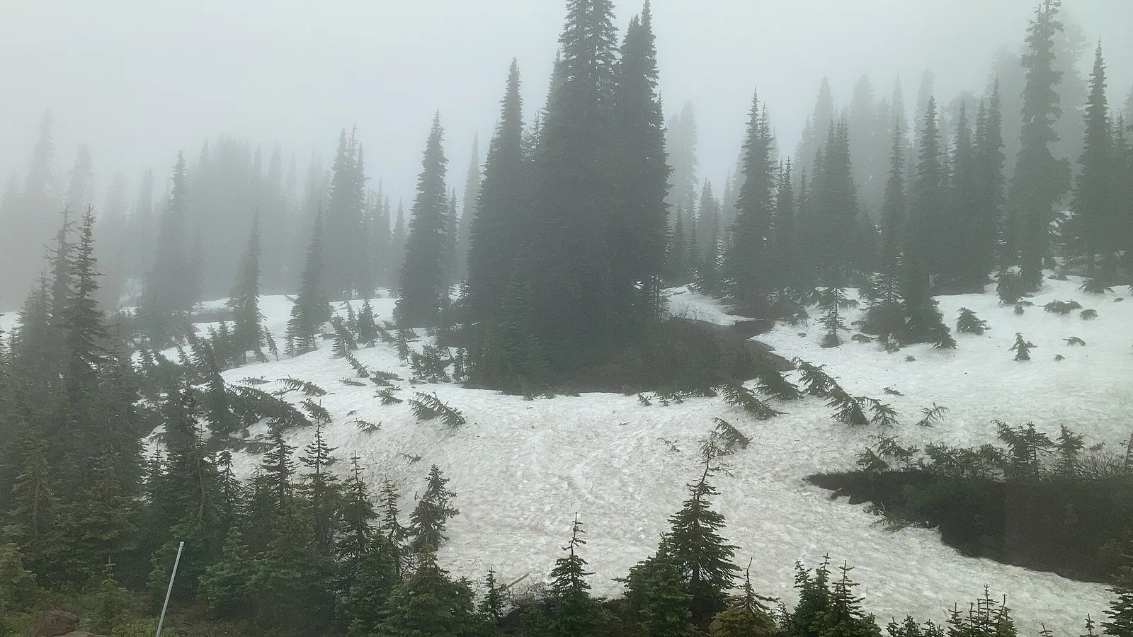
Paradise can hold deep snow into summer.
Field notes
Popular lots can fill before mid-morning. Dawn also means calmer wildlife, softer light and cooler climbs.
Weather can change abruptly. Bring real layers, water, food, navigation, headlamp and emergency basics.
Paradise and Sunrise sit on different sides of a huge volcano. Choose one corridor per day.
Stay on trail and snow where signed. A bootprint can damage plants that survive a very short growing season.
Pets and bicycles are prohibited on park hiking trails. Never feed or approach wildlife.
Cell service is unreliable. Save NPS maps, AllTrails routes and Google Maps areas offline.
Sources & image credits
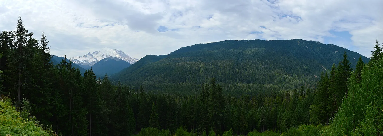
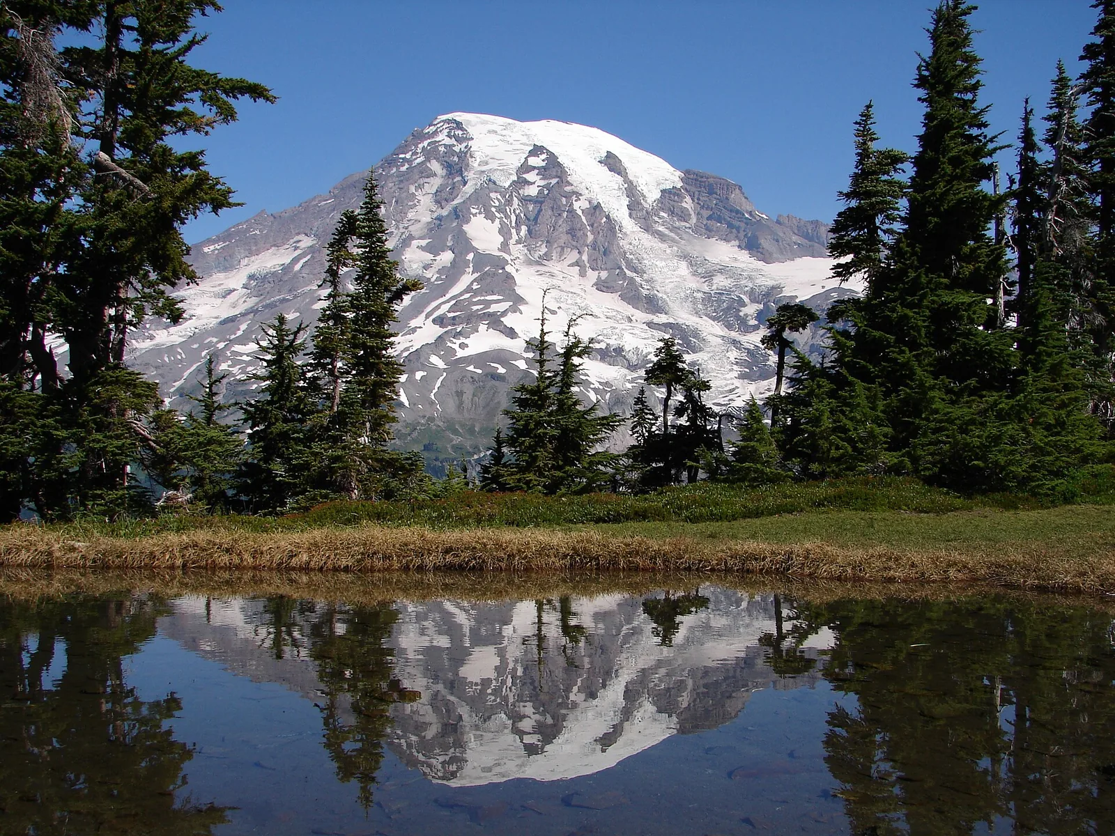
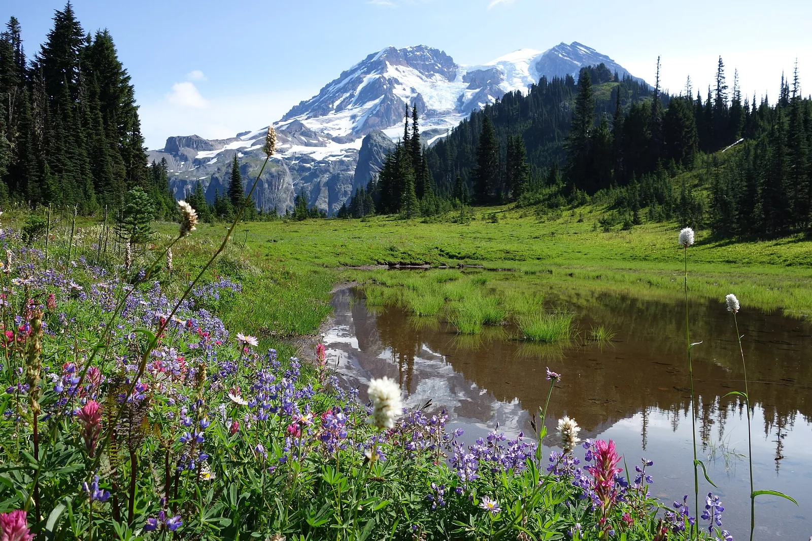
Trail figures and current-access notes come from the National Park Service. Photographs are locally hosted from Wikimedia Commons under the licenses listed below. This independent guide is not affiliated with NPS or AllTrails.